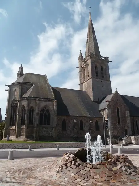
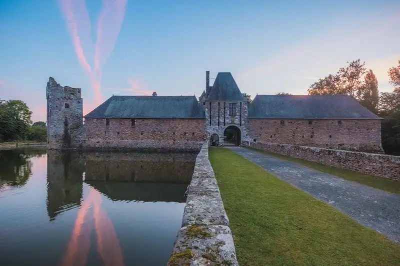
 © ©S.Georgès
Itinéraire vélo / Périers - Etang des Sarcelles - Marchésieux
About
Departure from Périers : access to the greenway near the traffic circle of Bastogne GPS coordinates (Lat, Lon) : 49.182150, -1.408990 Cumulative positive elevation gain : 91 m / Cumulative negative elevation gain : -75 On your route A ? Périers All shops, restaurants, banks, post office, Manéo line n°9? To see : Saint-Pierre church, Tollemer park B ? Saint-Sébastien-de-Raids To see : Saint-Sébastien Church C ? Gombert Picnic area, petanque ground To see : Marshes of the Taute D ? Pond of Sarcelles Restaurant, golf course, children's playground, mini-golf, health course, fishing pontoons and pedal boat rental To see : Étang des Sarcelles, Miniature train of the marshes (paying) E ? Marchésieux Bakery, media library, picnic area To see : mural paintings of the Saint-Manvieu Church, Memorial sheltering the remains of a plane which crashed in July 1944 on the commune, Saint-Manvieu Fountain (500 m from the village following the direction Remilly-sur-Lozon)
From the tourism feed, updated 6 Jan 2026 by Côte Ouest Centre Manche. Rules can differ by commune, so check the signs on site.
Questions dog owners ask
- Are dogs allowed at Itinéraire vélo / Périers - Etang des Sarcelles - Marchésieux?
- Not known. The official listing says nothing about dogs, so ask before you go.
- Are there any dog-friendly restaurants near Itinéraire vélo / Périers - Etang des Sarcelles - Marchésieux?
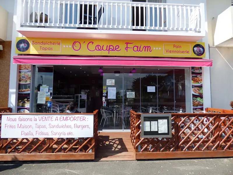
- Yes: O' Coupe Faim (14 km, dogs allowed), A 3 pas (15 km, dogs allowed), O'lala Bar & Restaurant (18 km, dogs allowed).
- Are there any dog-friendly beaches near Itinéraire vélo / Périers - Etang des Sarcelles - Marchésieux?
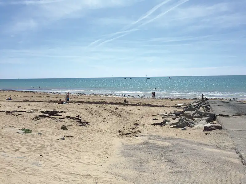
- Yes: Plage de la Cale Louis Robert à Pirou (14 km, summer dog ban), Plage d'Armanville à Pirou (14 km, dogs allowed), Plage d'Anneville-sur-Mer (15 km, summer dog ban).
- Where is Itinéraire vélo / Périers - Etang des Sarcelles - Marchésieux?
- 50190 Périers, in the Manche department of Normandy, France.
Dog-friendly places nearby
Data: DATAtourisme / Côte Ouest Centre Manche, Licence Ouverte (Etalab 2.0). Source record