 © ©S.Georgès
Itinéraire vélo / Périers - Saint-Martin-d'Aubigny - Feugères
About
Departure at : Périers, access to the greenway at the Rond-Point de Bastogne GPS coordinates (Lat, Lon) : 49.182460, -1.408980 Cumulative positive difference in altitude : 170 m / Cumulative negative difference in altitude : -157 m On your route A ? Périers All shops, restaurants, banks, post office, Manéo line n°9? To see : Saint-Pierre church, Tollemer park B ? House of Brick To see: Museum retracing the history of brick and its use in the region (fee payable) C ? Saint-Martin d?Aubigny Grocery store, café/restaurant, natural municipal camping area To see : Saint-Martin church D ? Chapel of Saint-Christophe To see : Chapel E ? Feugères Grocery store/press/post office and green point, café/bar/tobacco shop To see : Pressoir à longue étreinte, Chapelle Notre-Dame-de-l?Huis-Ouvert
From the tourism feed, updated 6 Jan 2026 by Côte Ouest Centre Manche. Rules can differ by commune, so check the signs on site.
Questions dog owners ask
- Are dogs allowed at Itinéraire vélo / Périers - Saint-Martin-d'Aubigny - Feugères?
- Not known. The official listing says nothing about dogs, so ask before you go.
- Are there any dog-friendly restaurants near Itinéraire vélo / Périers - Saint-Martin-d'Aubigny - Feugères?
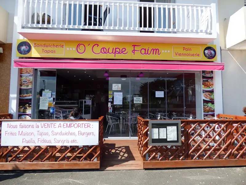
- Yes: O' Coupe Faim (14 km, dogs allowed), A 3 pas (15 km, dogs allowed), O'lala Bar & Restaurant (18 km, dogs allowed).
- Are there any dog-friendly beaches near Itinéraire vélo / Périers - Saint-Martin-d'Aubigny - Feugères?
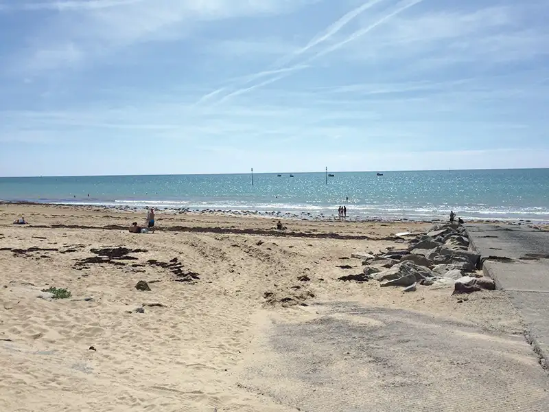
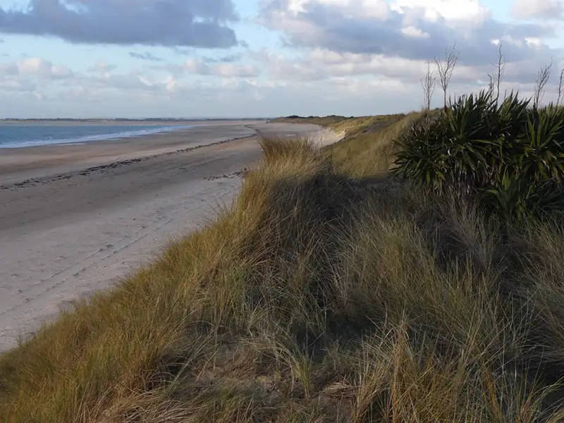
- Yes: Plage de la Cale Louis Robert à Pirou (14 km, summer dog ban), Plage d'Armanville à Pirou (14 km, dogs allowed), Plage d'Anneville-sur-Mer (15 km, summer dog ban).
- Where is Itinéraire vélo / Périers - Saint-Martin-d'Aubigny - Feugères?
- 50190 Périers, in the Manche department of Normandy, France.
Dog-friendly places nearby

Data: DATAtourisme / Côte Ouest Centre Manche, Licence Ouverte (Etalab 2.0). Source record