Sentier d'interprétation du Mont de Doville
Nature · Doville
OfficialUnverifiedAbout
Signposted from the D900, between La Haye-du-Puits and Saint-Sauveur-le-Vicomte, Named "Escalleclif" (bald escarpment) by Scandinavian settlers, and later renamed "Colquin", the 127-metre Mont dit de Doville overlooks the marshes, the Bauptois and Jersey. Between gorse and heather, guardhouses, a windmill and a church once enjoyed its open horizons. 3 km - 1h30
From the tourism feed, updated 6 Nov 2026 by Attitude Manche. Rules can differ by commune, so check the signs on site.
Questions dog owners ask
- Are dogs allowed at Sentier d'interprétation du Mont de Doville?
- Not known. The official listing says nothing about dogs, so ask before you go.
- Are there any dog-friendly restaurants near Sentier d'interprétation du Mont de Doville?
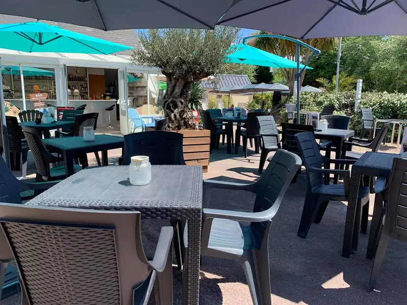
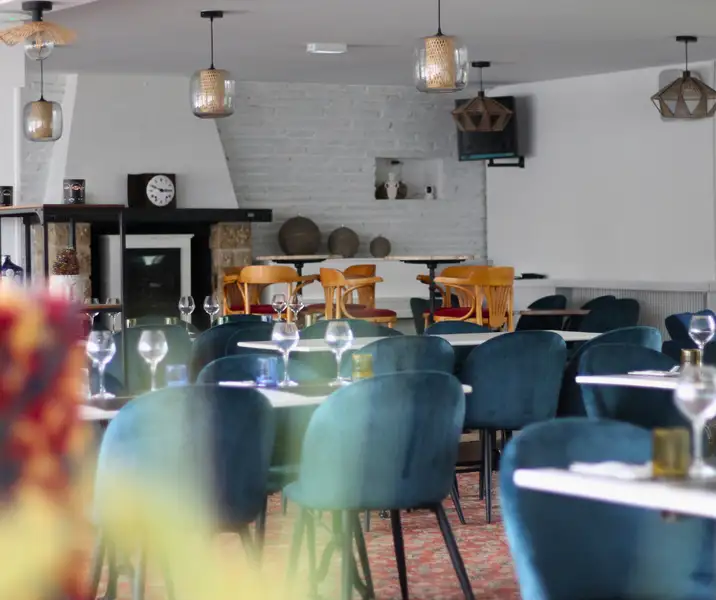
- Yes: Le B17 (9 km, dogs allowed), O'lala Bar & Restaurant (12 km, dogs allowed), O' Coupe Faim (17 km, dogs allowed).
- Are there any dog-friendly beaches near Sentier d'interprétation du Mont de Doville?
- Yes: Plage d'Armanville à Pirou (15 km, dogs allowed), Plage de la Cale Louis Robert à Pirou (17 km, summer dog ban), Plage de Bretteville-sur-Ay (11 km, not confirmed, ask first).
- Where is Sentier d'interprétation du Mont de Doville?
- 50250 Doville, in the Manche department of Normandy, France.
Dog-friendly places nearby
Data: DATAtourisme / Attitude Manche, Licence Ouverte (Etalab 2.0). Source record